Recent articles
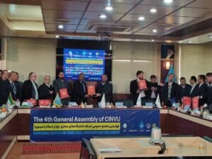
Gabon in the Spotlight: UNIVGA Re-elected to the Executive Board of CINVU
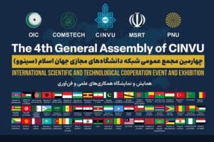
The Fourth General Assembly of CINVU

Partnership between UNIVGA GROUP and MIT Nabeul
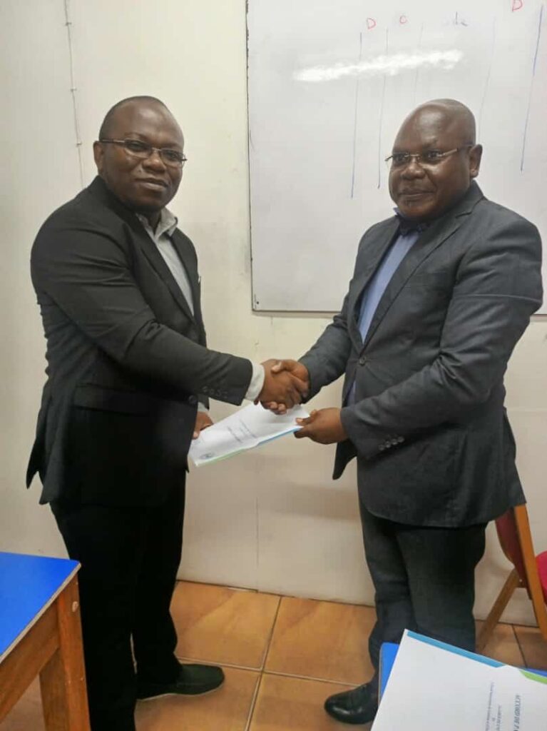
 Certificate
Professional Certificate in Business Intelligence with Excel and Power BI
Description of the Geomatics Expert Profession:
A geomatics expert is a professional specialized in the collection, analysis, management, and visualization of geographic data using technologies such as geographic information systems (GIS), remote sensing, mapping, and geolocation. Their role involves collecting spatial data, processing it, interpreting it, and presenting it in the form of maps, models, and analyses to help organizations and decision-makers make geography-based decisions. Here are the main responsibilities of a geomatics expert:
- Geospatial data collection They collect geographic data from various sources, including satellites, drones, ground sensors, and field surveys.
- Data processing and analysis Geomatics experts use GIS software to process, analyze, and interpret geospatial data.
- Modeling and mapping They create maps and geospatial models to represent phenomena such as relief, vegetation, transportation networks, and demographic data.
- Geolocation and navigation They develop geolocation and navigation applications for mobile devices and navigation systems.
- Support for decision-making Geomatics experts provide geospatial information to support decision-making in areas such as urban planning, agriculture, environmental management, security, and land use planning.
Job Opportunities:
The geomatics expert profession offers numerous career opportunities in various sectors, including:
- Government and public sector Government agencies use geomatics for urban planning, natural resource management, mapping, and disaster management.
- Private companies Private companies, including engineering firms, transportation companies, agricultural businesses, and telecommunications companies, employ geomatics experts for various applications.
- Research and universities : Research institutions and universities employ geomatics experts to conduct studies and geospatial research projects.
- Environmental organizations : Environmental organizations use geomatics to monitor and protect the environment.
- Health establishments : Hospitals and health establishments use geomatics for public health management and medical infrastructure planning.
Advantages:
The profession of geomatics expert has many advantages, including:
- Impact on decision-making : Geomatics experts contribute to strategic decisions by providing accurate spatial information.
- Professional versatility : Their expertise is applicable in many fields, offering great versatility in their careers.
- Competitive compensation : Geomatics professionals generally enjoy attractive salaries due to their expertise.
- Intellectual challenges : They face complex issues related to geospatial data management and modeling.
- Research opportunities : They can participate in research and innovation projects in the field of geomatics.
As a geomatics expert, you will play a crucial role in collecting, analyzing, and managing geographic data to make informed decisions in various fields. Your expertise in GIS, remote sensing, and mapping will contribute to the advancement of geomatics and the resolution of complex geospatial problems.



 French
  English